Skip to main content
Shop
Donate
UA Directory
Intranet
Quick Links
Geophysical Institute
Main navigation
Home
About
Contact Information
Contact
UAF Directory
Visitor Information
About the GI
Diversity & Inclusion
GI Publications
Timeline
GI Quarterly
People
Leadership
Researchers
Graduate Student Researchers
Emeriti
Research
Atmospheric Sciences
Remote Sensing
Seismology & Geodesy
Snow, Ice & Permafrost
Space Physics & Aeronomy
Tectonics & Sedimentation
Volcanology
Facilities & Labs
Services
Design & Printing
GI Human Resources
Education Outreach
Instrument Development
Keith B. Mather Library
Research Computing Systems
News & Info
News
Alaska Science Forum
Alaska Science Pod
Science for Alaska
Aurora Forecast
Visitor Information & Tours
Events
Diversity & Inclusion
Student Info
Intranet
Search
Researchers
Breadcrumb
Home
/
Researchers
People
All
Atmospheric Sciences
Remote Sensing
Seismology & Geodesy
Snow, Ice & Permafrost
Space Physics & Aeronomy
Tectonics & Sedimentation
Volcanology
People Directory
Personal website
Laura Conner
GI Associate Director
Develops science learning programs and studies science identity, interest and motivation
People Directory
Google Scholar
Personal website
Peter Damiano
Space Physics & Aeronomy
Uses simulations to study particle acceleration and Alfven wave dynamics in space plasmas
People Directory
Google Scholar
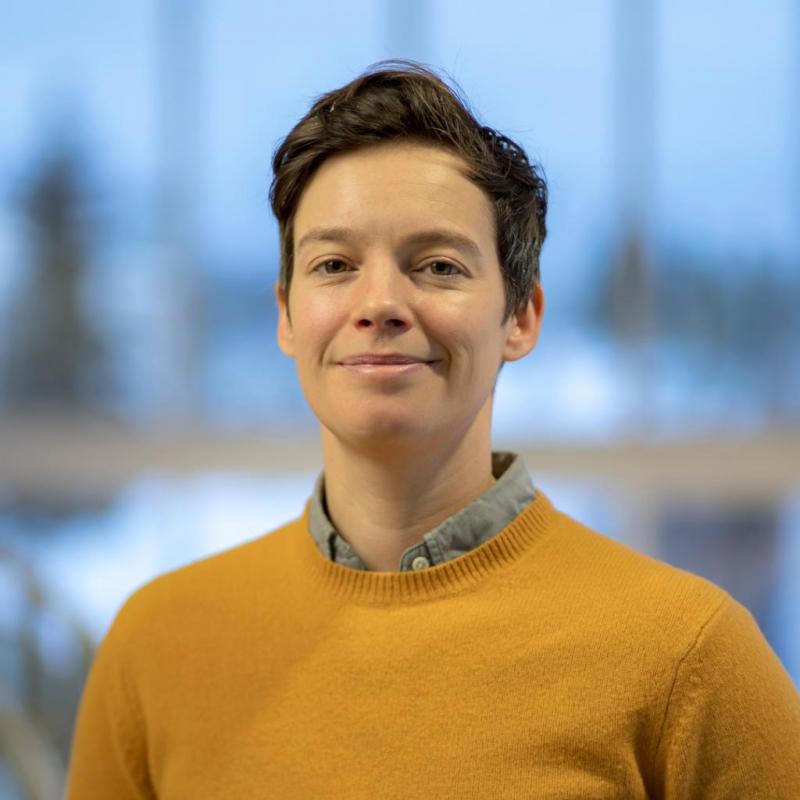
Jennifer Delamere
GINA Director
Oversees the Geographic Information Network of Alaska
People Directory
Personal website
Academic Department
Peter Delamere
Space Physics & Aeronomy
Studies magnetospheric physics with emphasis on the numerical simulation of space plasmas
People Directory
Google Scholar
Personal website
Mark Fahnestock
Snow, Ice & Permafrost
Applies remote sensing and field work to study ice flow and glacier change
People Directory
Google Scholar
Personal website
Louise Farquharson
Snow, Ice & Permafrost
Explores how high-latitude landscapes respond to climate change
People Directory
Google Scholar
Personal website
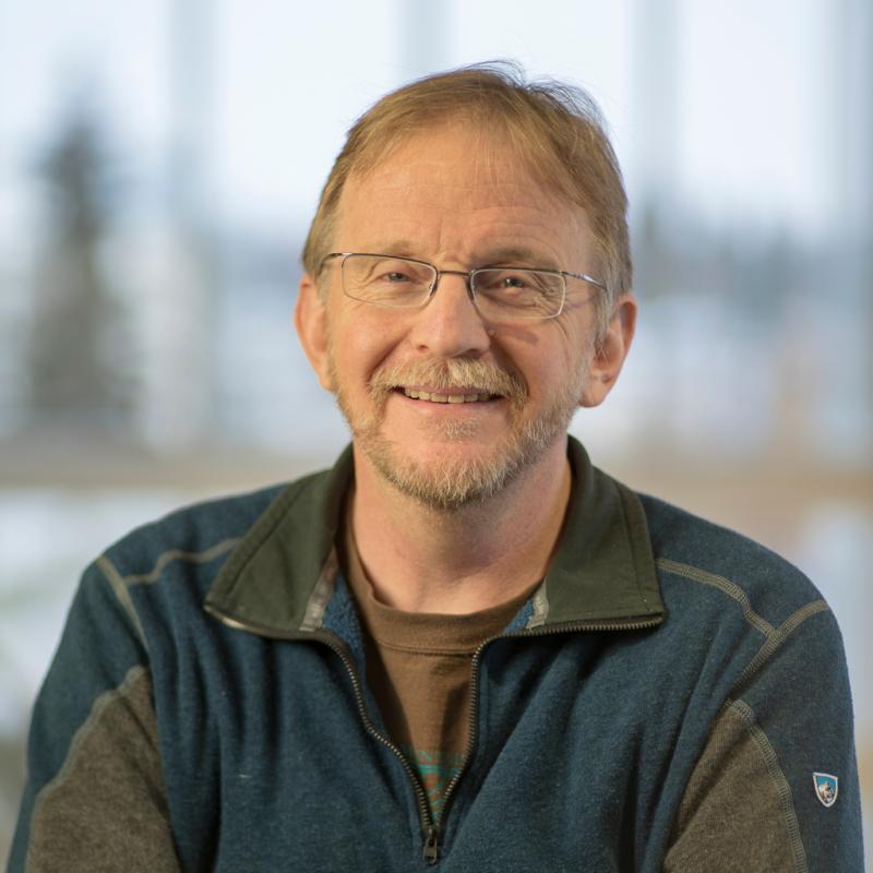
David Fee
AVO Coordinating Scientist
Uses infrasound and seismic data to study volcanic eruptions and other explosions
People Directory
Google Scholar
Personal website
Indujaa Ganesh
Remote Sensing
Volcanology
Studies volcanism in the inner solar system using radar remote sensing, theoretical modeling and geophysical imaging
People Directory
Google Scholar
Personal website
Academic Department
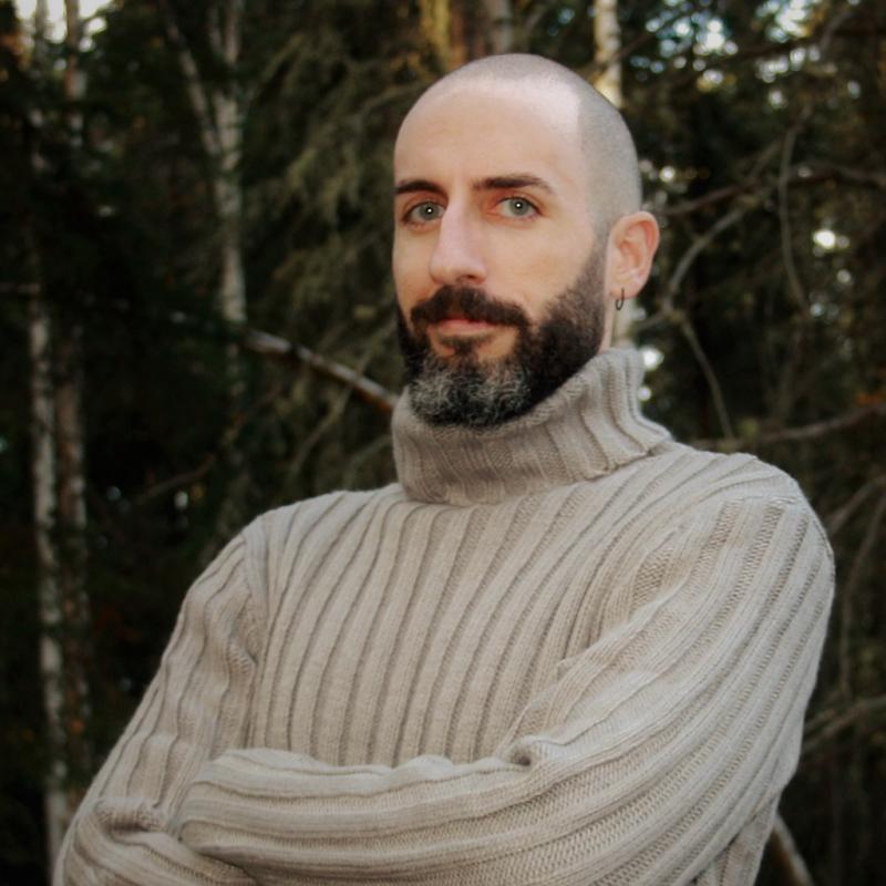
Társilo Girona
Seismology & Geodesy
Volcanology
Explores the precursory activity of volcanic eruptions and earthquakes by combining physics- and data-based models
People Directory
Google Scholar
Personal website
Academic Department
Ronni Grapenthin
Seismology & Geodesy
Volcanology
Studies volcanoes, earthquakes and other crustal deformation processes with GPS and InSAR
People Directory
Google Scholar
Personal website
Don Hampton
PFRR Chief Scientist
Uses optical instruments to observe and study the aurora and upper atmosphere
People Directory
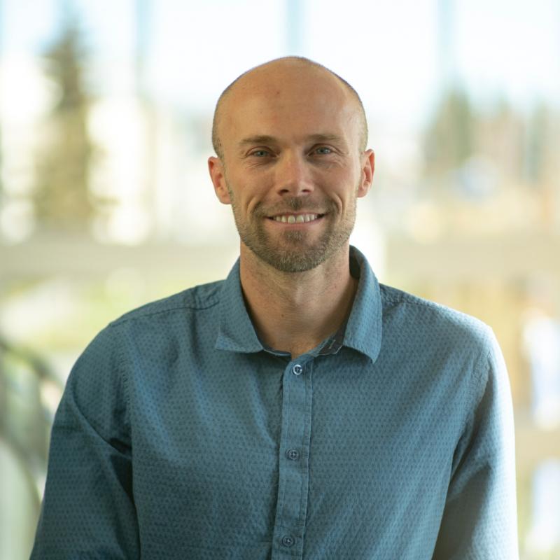
Michael Hatfield
Remote Sensing
Uses Unmanned Aircraft Systems to monitor mine safety, operation, and emergency response
Load More