UAF scientists receive grant to improve study of rising sea levels
A $638,000 National Science Foundation grant to two University of Alaska Fairbanks researchers aims to accelerate innovative ways of studying rising sea levels.
The award is one of 12 the National Science Foundation announced recently as part of its new Geosciences Open Science Ecosystem program. Funding for all 12 projects totals $10.4 million.
The foundation said the funding aligns with the goals of the federal 2023 Year of Open Science, proclaimed in December 2022 by NASA. The foundation and 15 other federal departments and agencies participate.
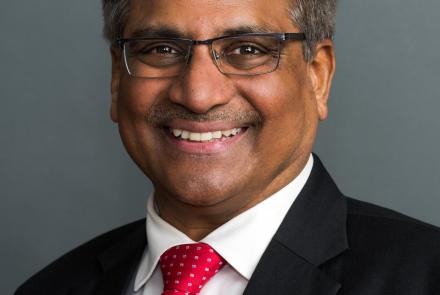
Glaciologist Andy Aschwanden, a research professor at the UAF Geophysical Institute, leads the sea levels project with co-principal investigator Joseph H. Kennedy of the Alaska Satellite Facility and Constantine Khrulev, a Geophysical Institute software engineer.
“Rising sea level is one of humanity’s greatest challenges,” Aschwanden said. “Coastal regions are home to half of the U.S. population. Rising seas lead to loss of property, erosion of beaches and inundation of deltas, as well as flooding and loss of many marshes and wetlands.”
Sea level rise is mainly driven by melting glaciers and ice sheets and thermal expansion of the ocean. Planning adaptation and mitigation strategies requires accurate predictions of sea level rise, in particular because it is not uniform, Aschwanden said.
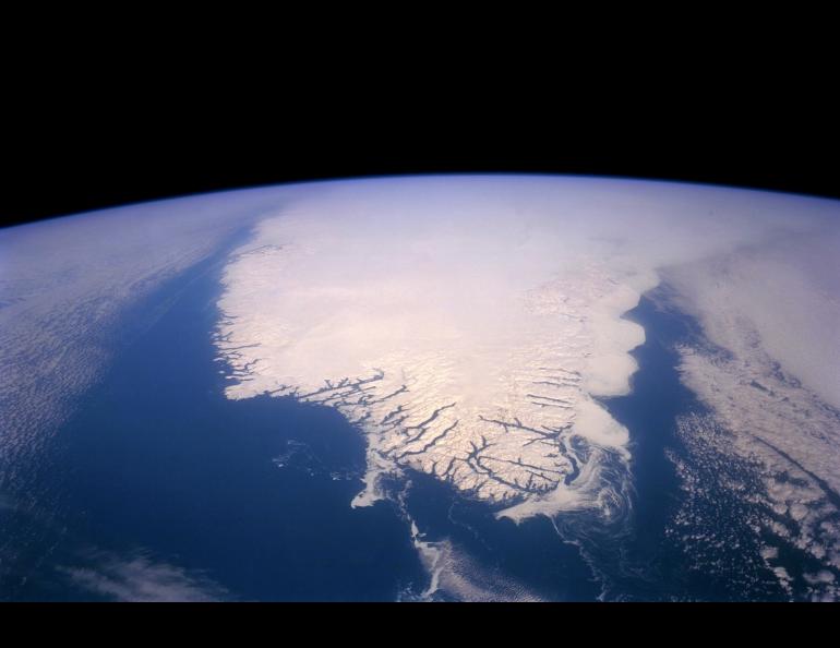
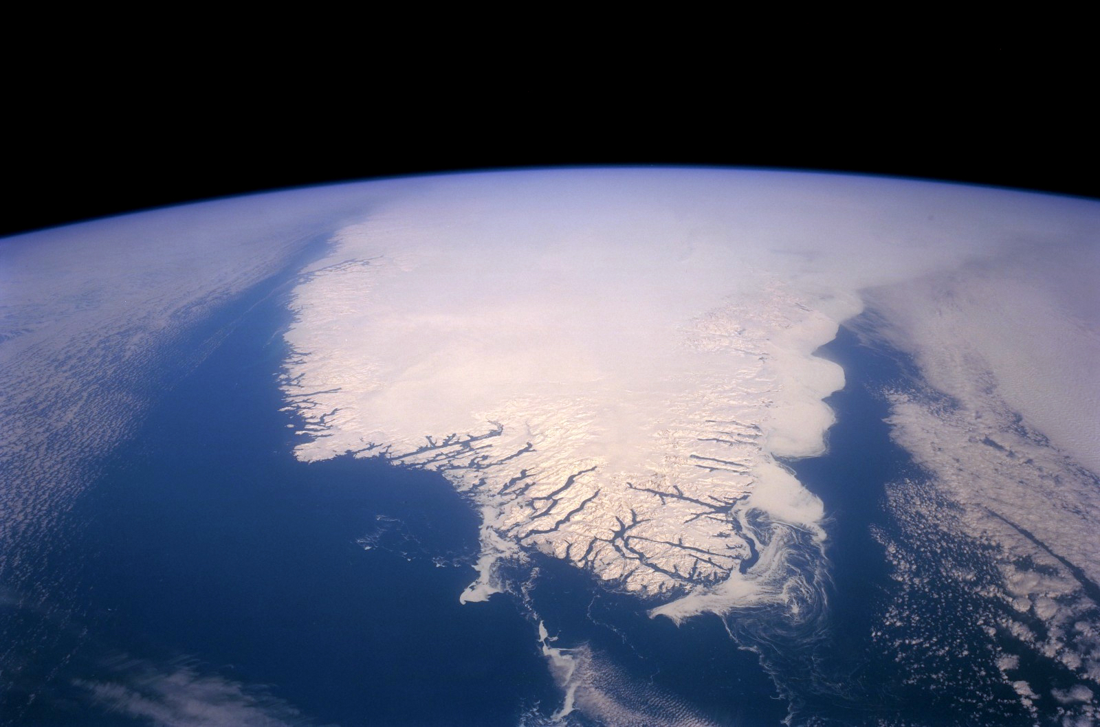
“For example, sea level rise in New York is sensitive to how much ice melts in northeastern Greenland, while sea level rise in London is mostly affected by ice melt in western Greenland,” he said.
The National Science Foundation grant to UAF will greatly improve access to the Parallel Ice Sheet Model, or PISM, which allows scientists to answer questions about the history and future of Earth’s glaciers and ice sheets. That information is important for understanding how glaciers and ice sheets affect sea level.
Grant documentation notes that cutting-edge research requires access to and knowledge of supercomputers, which can be costly and time-consuming to use. The NSF grant will make the ice sheet model easier to install and use.
“It’s a matter of ‘time is money’,” Aschwanden said. “The less time spent with unproductive tasks, the more time a researcher has to do actual research.”
The UAF researchers will build a cloud-based PISM for use by scientists participating in the next group effort by climate scientists to estimate future ice loss from Greenland. The Intergovernmental Panel on Climate Change will use those findings in its own climate projections.
Aschwanden also hopes educators will use the cloud-based version of the Parallel Ice Sheet Model at the undergraduate level to teach the science behind sea level research.
“The Parallel Ice Sheet Model is one of the main workhorses in glacier and sea-level research,” he said.
The federal government’s Year of Open Science website describes open science as “the principle and practice of making research products and processes available to all, while respecting diverse cultures, maintaining security and privacy, and fostering collaborations, reproducibility and equity.”
Open science enables transparency and accountability for the use of taxpayer dollars and also leads to innovation, Aschwanden said. As an example, he pointed to a 2008 agreement between NASA and the U.S. Geological Survey to open the archive of Landsat satellite images to the public and make them freely accessible.
“This was the biggest change in the history of the Landsat program,” Aschwanden said. “Accessing all images of a single location free of charge through the internet enabled researchers to discover and study changes of our planet’s surface to a level that was not possible before when a single image cost $200.”
“For us glaciologists, for example, this meant we could now study all glaciers on Earth simultaneously from space,” he said. “Velocity time series of every single glacier, produced by the ITS_LIVE project, in which the Alaska Satellite Facility plays a major role, are now a backbone of glacier research.”
• Andy Aschwanden, University of Alaska Fairbanks Geophysical Institute, 907-474-7199, aaschwanden@alaska.edu
• Rod Boyce, University of Alaska Fairbanks Geophysical Institute, 907-474-7185, rcboyce@alaska.edu